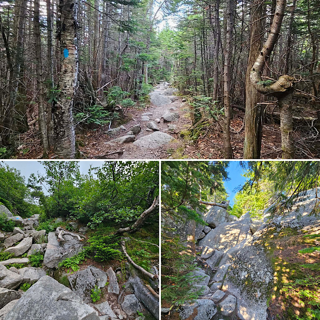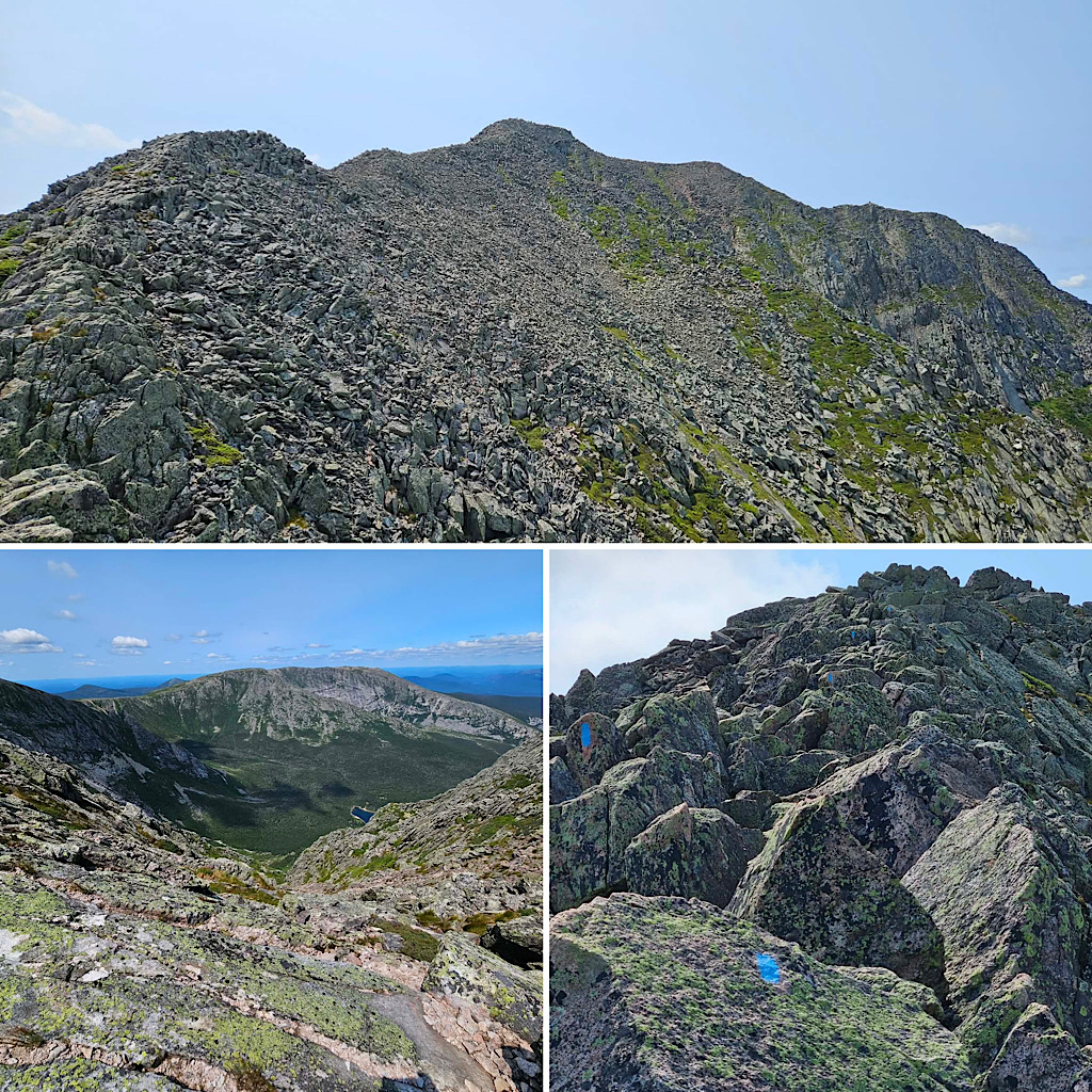
Some of the trail miles in New Hampshire and Maine are different than many of the trail miles found in other parts of the country. First of all, many of our eroded “trails” tend to go straight up — which is how they became eroded — increasing the level of effort required to climb them. Granted, this leads to an elevated sense of accomplishment allowing hikers in many cases the satisfaction earned in climbing up a thousand or more feet of gain in a mile or less. Couple this with the fact that the aforementioned erosion gives us steep, stream-like trails comprised of slippery rocks and roots and the difference becomes clear. Moreover, many of our mostly-talus alpine trails exist only in name and are marked only with cairns. Thanks to all this, the miles traveled tend to seem longer than they really are.
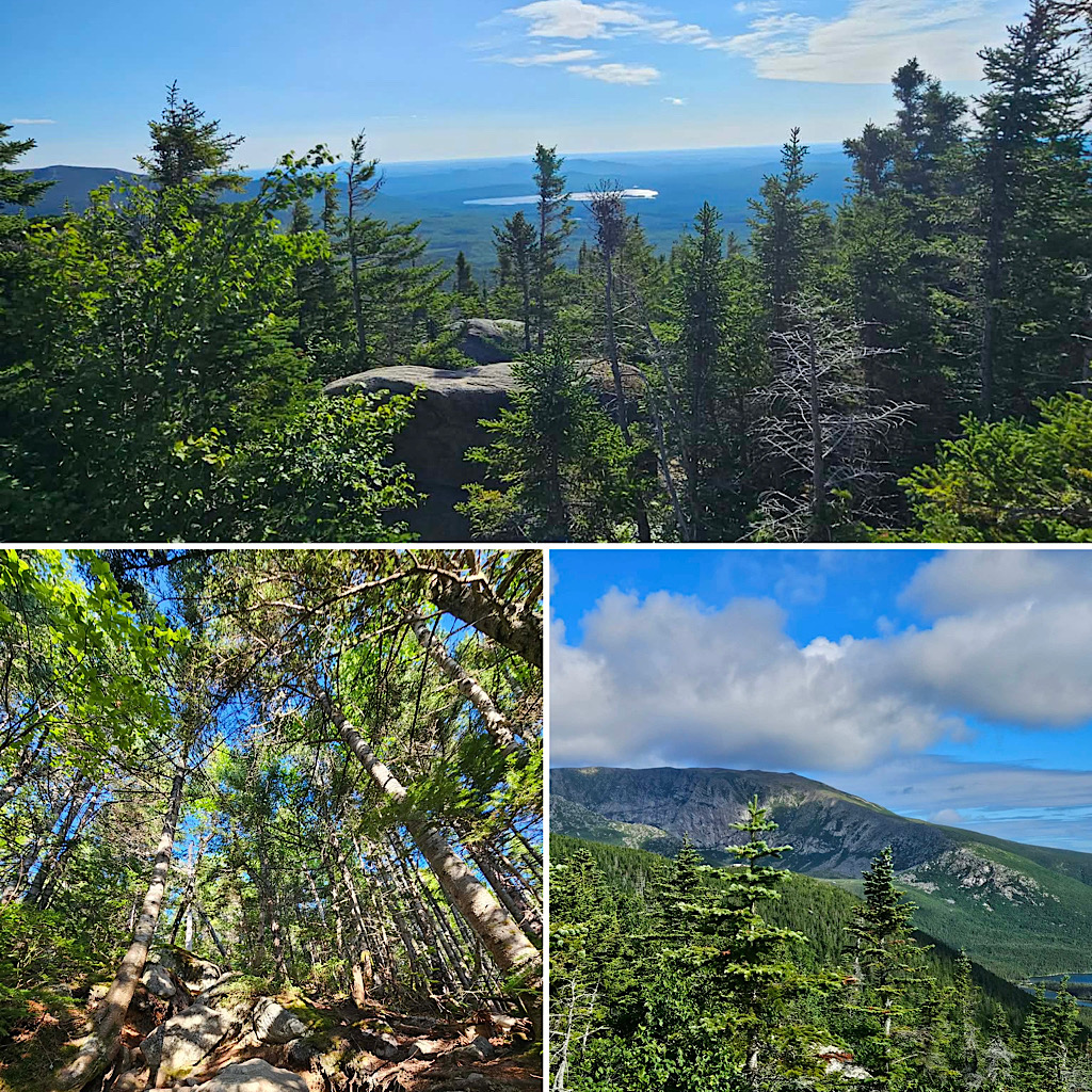
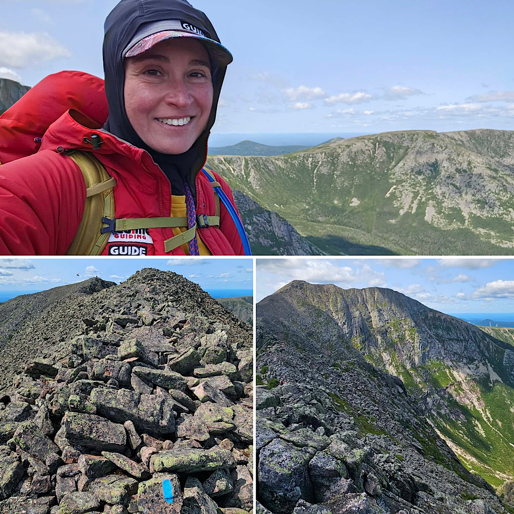
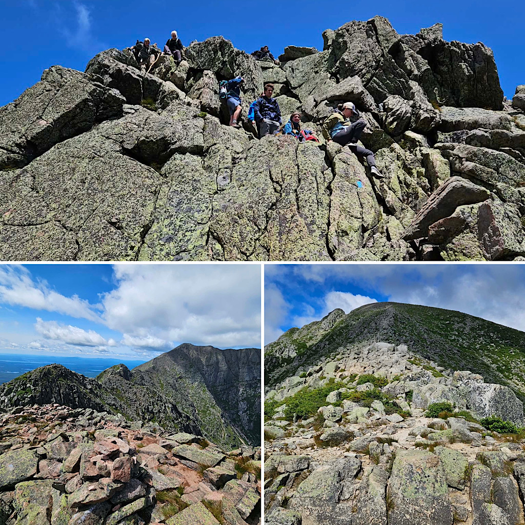
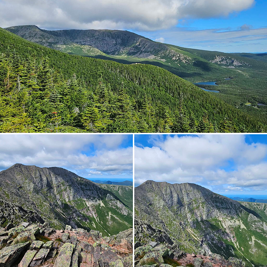
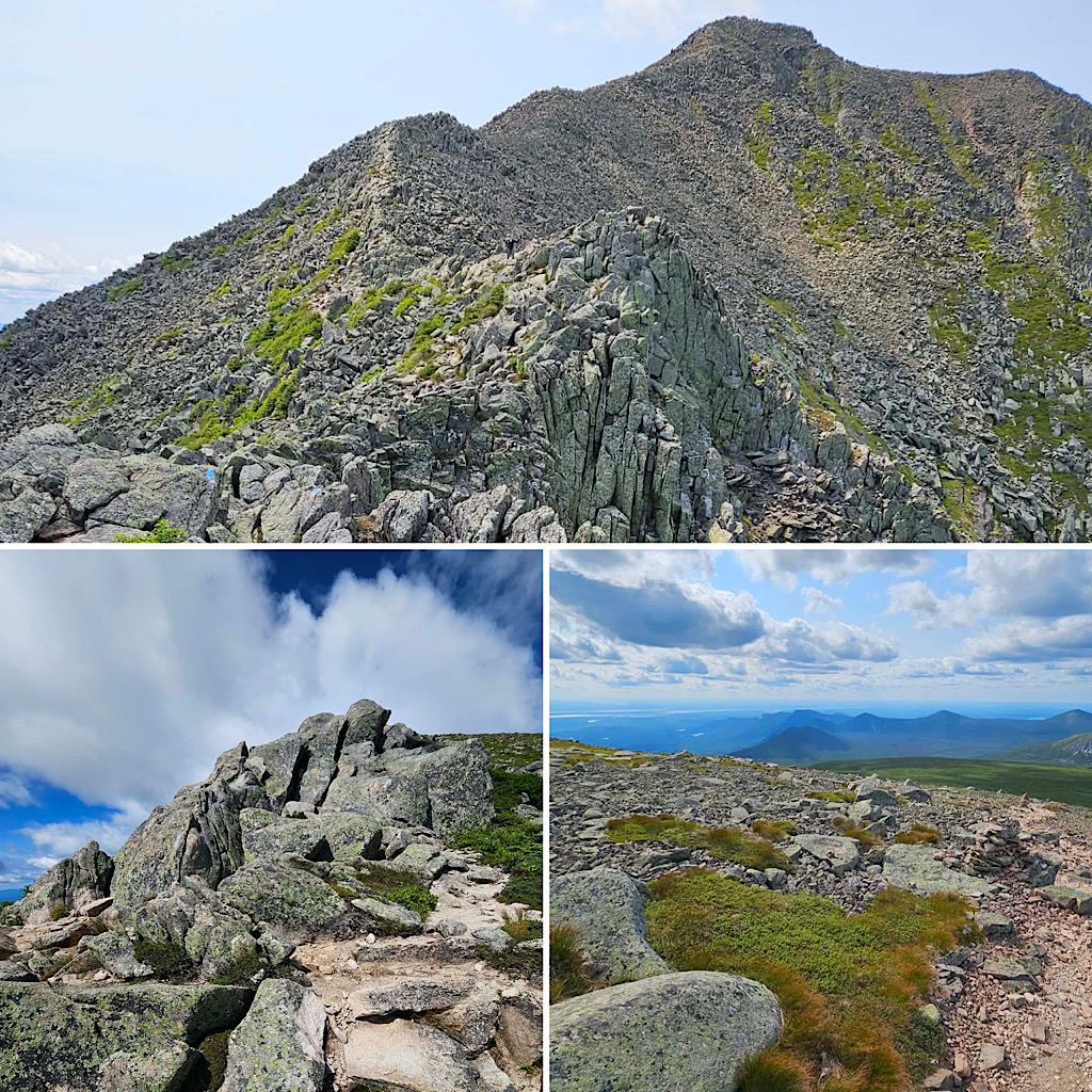
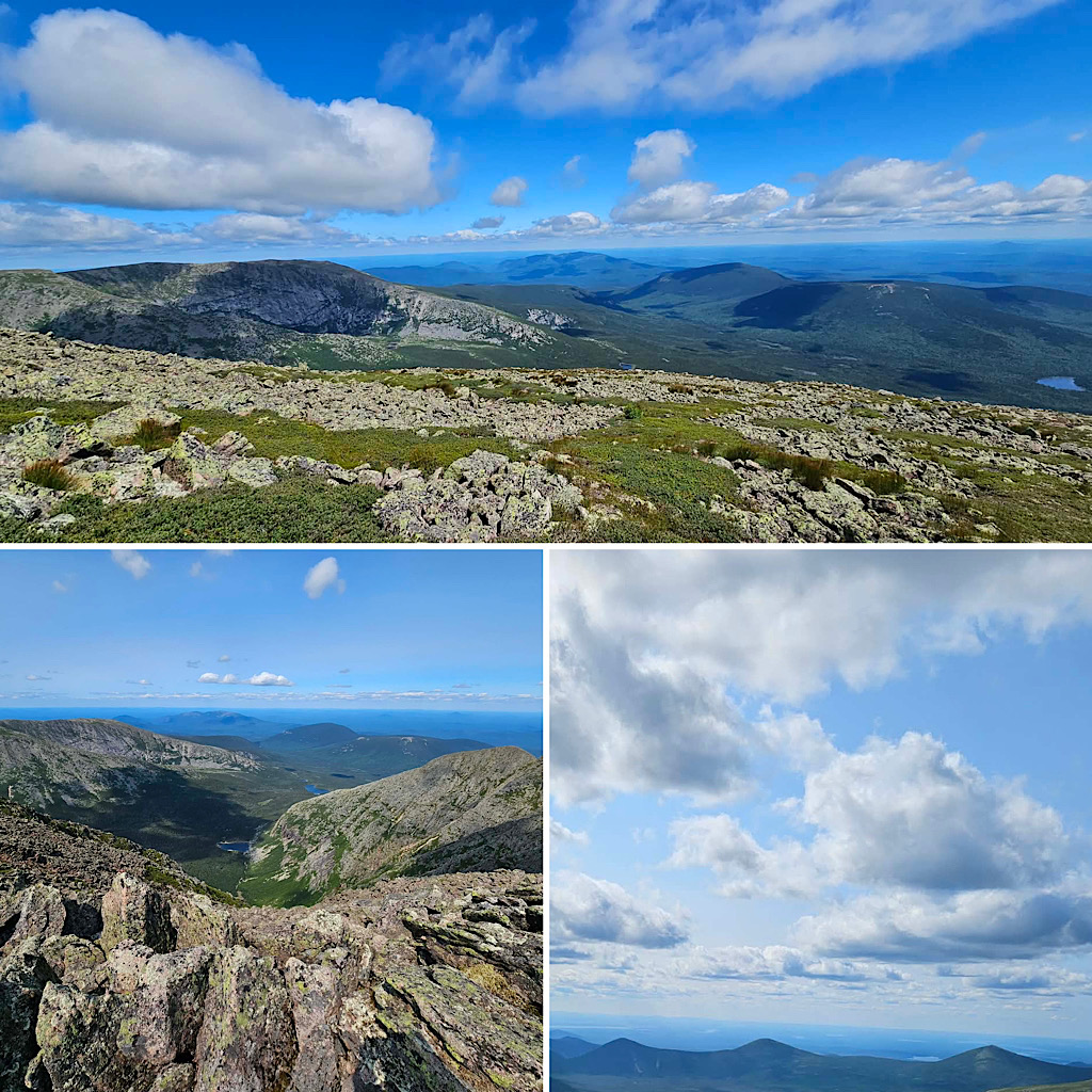
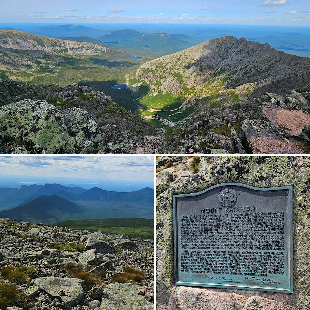
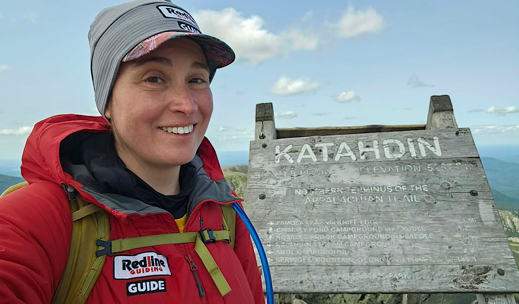
Barring some of New Hampshire’s steepest slides and other anomalous routes, parts of Maine can seem even tougher. This is especially true on Mt Katahdin in Baxter State Park where “Baxter Miles” seem longer than ordinary miles. This is where Redline Guide Debra McCown just led a fellow on a private tour. There they hiked up the steep but pretty Helon-Taylor Trail summiting Pamola Peak, then dropping into the “seems-like-a-rock-climb” Chimney Gap before climbing back up to Chimney Peak before transiting the “Knife Edge” on the way to Katahdin’s South and Baxter Peaks. From there the team continued onto the Tablelands before descending the rough slide named “Saddle Trail.” Whew!
Here are a few photos of the trip.