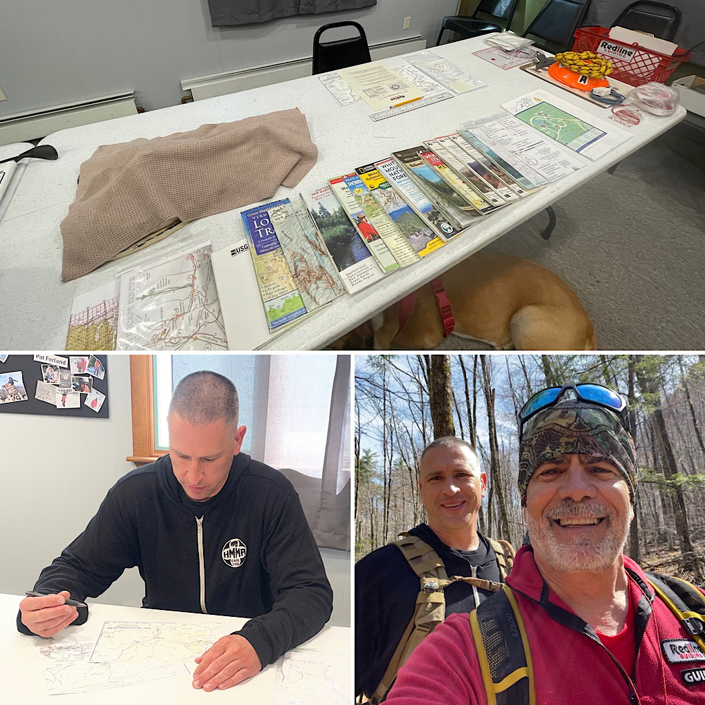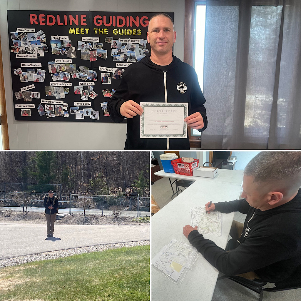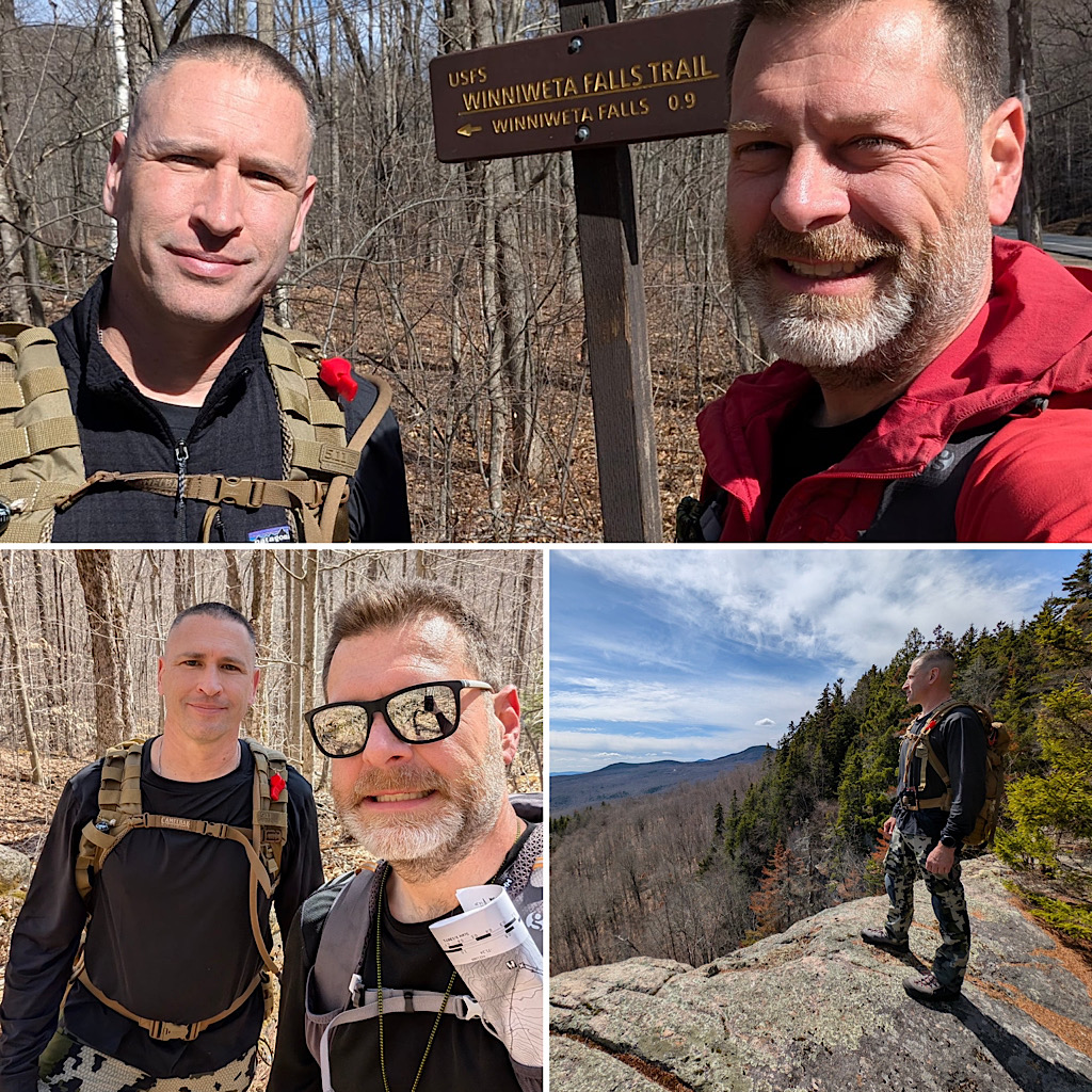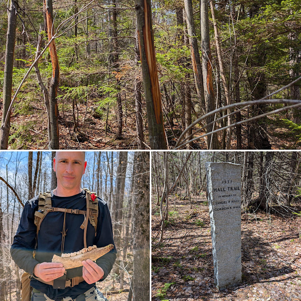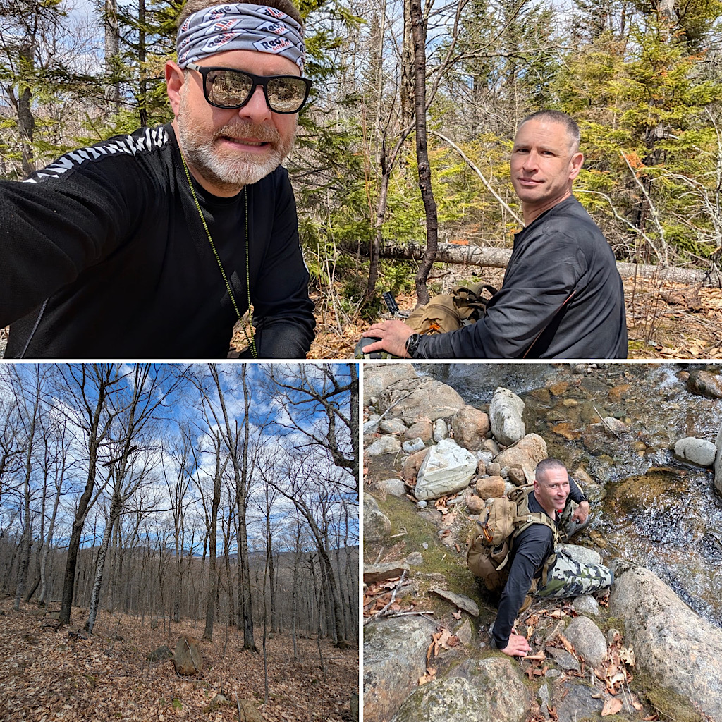
We had a fellow reach out looking to really get a grip on the fine art of map and compass land navigation, or “Wilderness Navigation” as we call it. He opted for our two-day offering. Day one was broken into two main parts: classroom and field with most of time and focus going to class time. Day two was devoted to a multi-part, multi-discipline bushwhack. The normal place we do this is pretty special throwing at the team stream crossings, compass navigation, handrailing land forms, deviation, potential offsets, elevation and time monitoring, managing terrain that one could get quite lost in, a whole lot of planning and brain power, and some spectacular views on the way to the summit of an un-trailed mountain in Jackson, NH. Leading this were Redline Guides Mike Cherim (day one) and Eric Hansen (day two). A few photos follow…