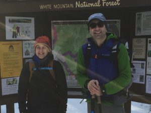
Starting out. Smiles? Check.
The wicked weather on that mountain, especially in winter, has been known to keep the summit out of our grasps for safety reasons. The cold is often unsurvivably extreme and there are winds that will sweep us off our feet slamming us into the rocks. These are collectively known as no-go conditions. We experienced that a lot this past winter. Fortunately, we’ve gotten a couple of lucky breaks now that it’s spring (do bear in mind, on the mountain it is still winter-like). Yesterday, in fact, we had two separate tours that ended up combining into one since everyone hiked at pretty much the same pace and both summited. These tours were led by Redline Guides Ken Hodges and Arlette Laan, both taking a route up the west side of the mountain, as detailed in the following photos (photos by Arlette).
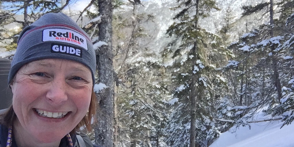
Redline Guide Arlette enjoying her office for the day.
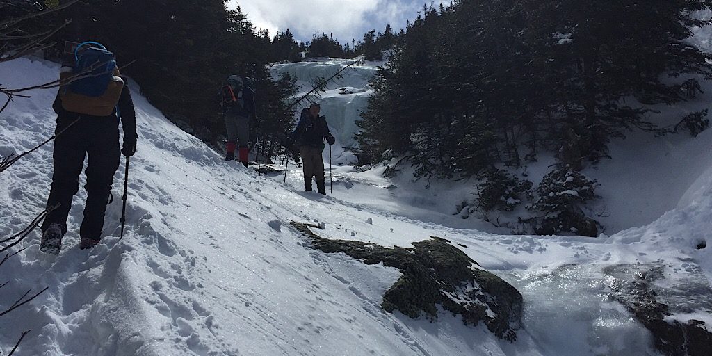
The tour progresses upward into the alpine zone.
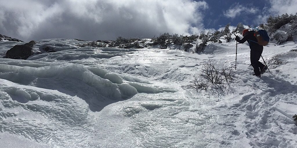
It’s a gorgeous day, though the northwest winds are making it feel a bit cold.
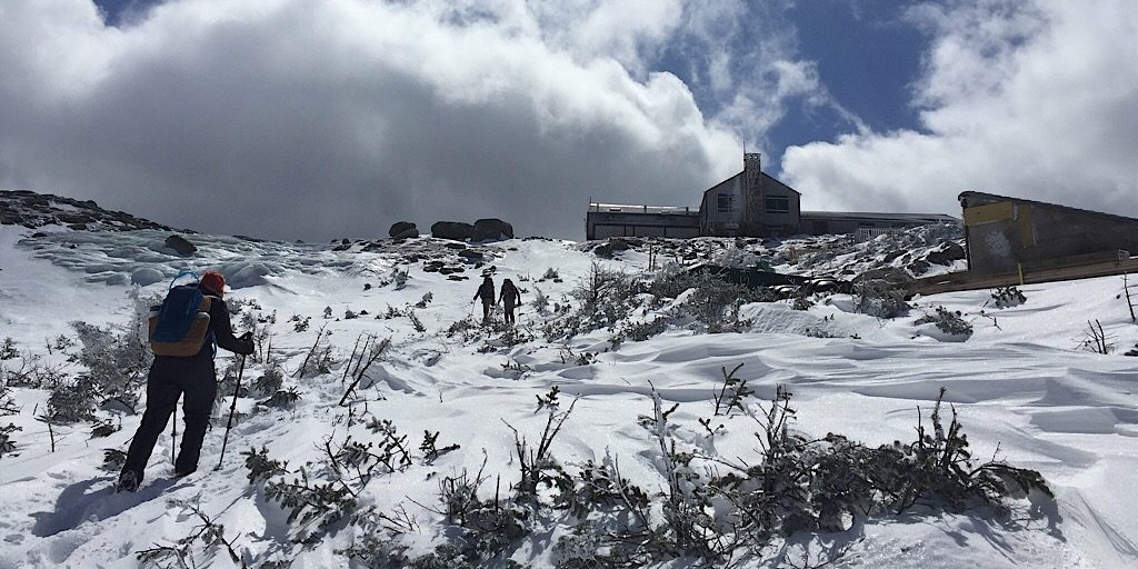
They acquire the ridge as the AMC’s Lakes of the Clouds hut looms ahead.
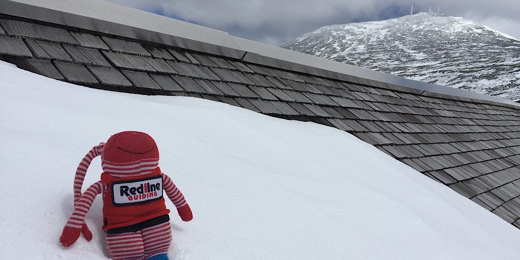
One of Arlette’s creations, “Red,” rests of the building’s roof. Agiocochook in the background.
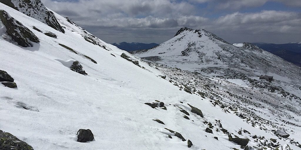
Putting Lakes of the Clouds and Mt Monroe behind them.
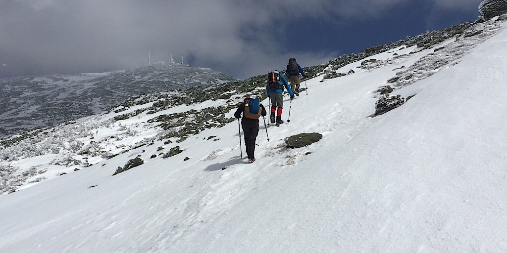
Crossing the small west side snowfield.
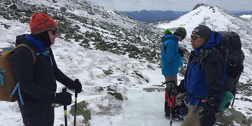
Brief respite at a trail junction.
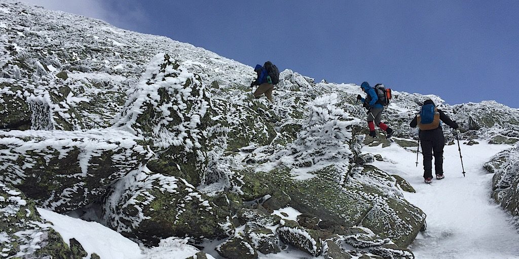
Making their way up the “cone.”
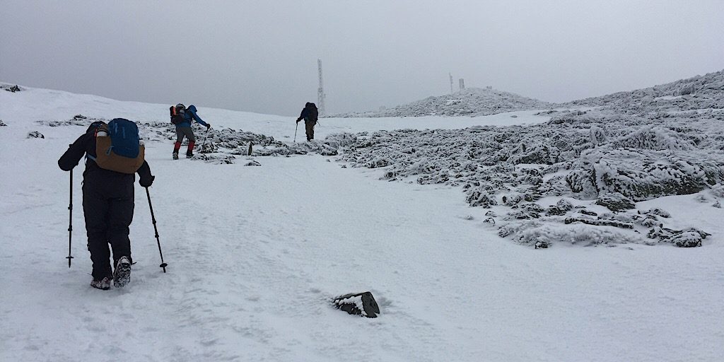
Signs of the summit appear. They are still a ways off.
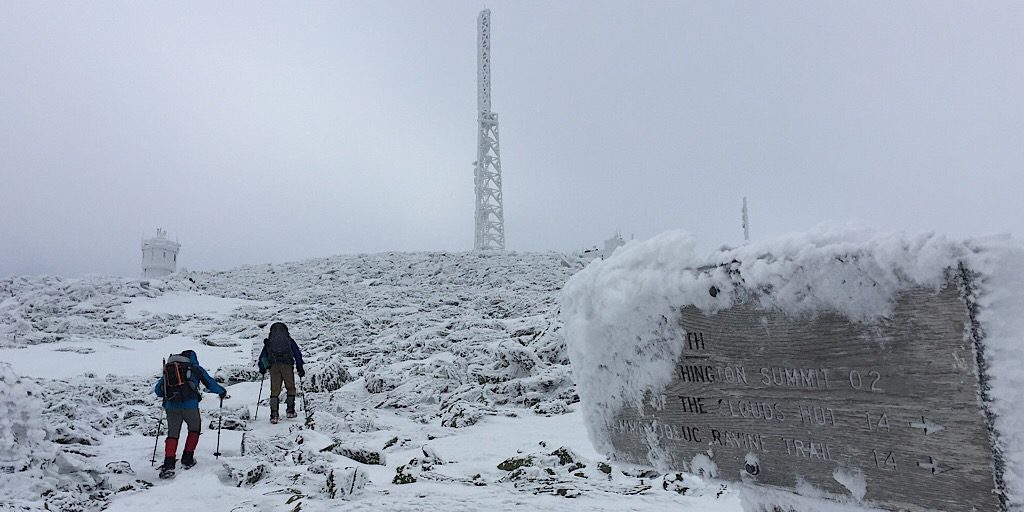
Edging closer. Summit bliss in ten, nine, eight…
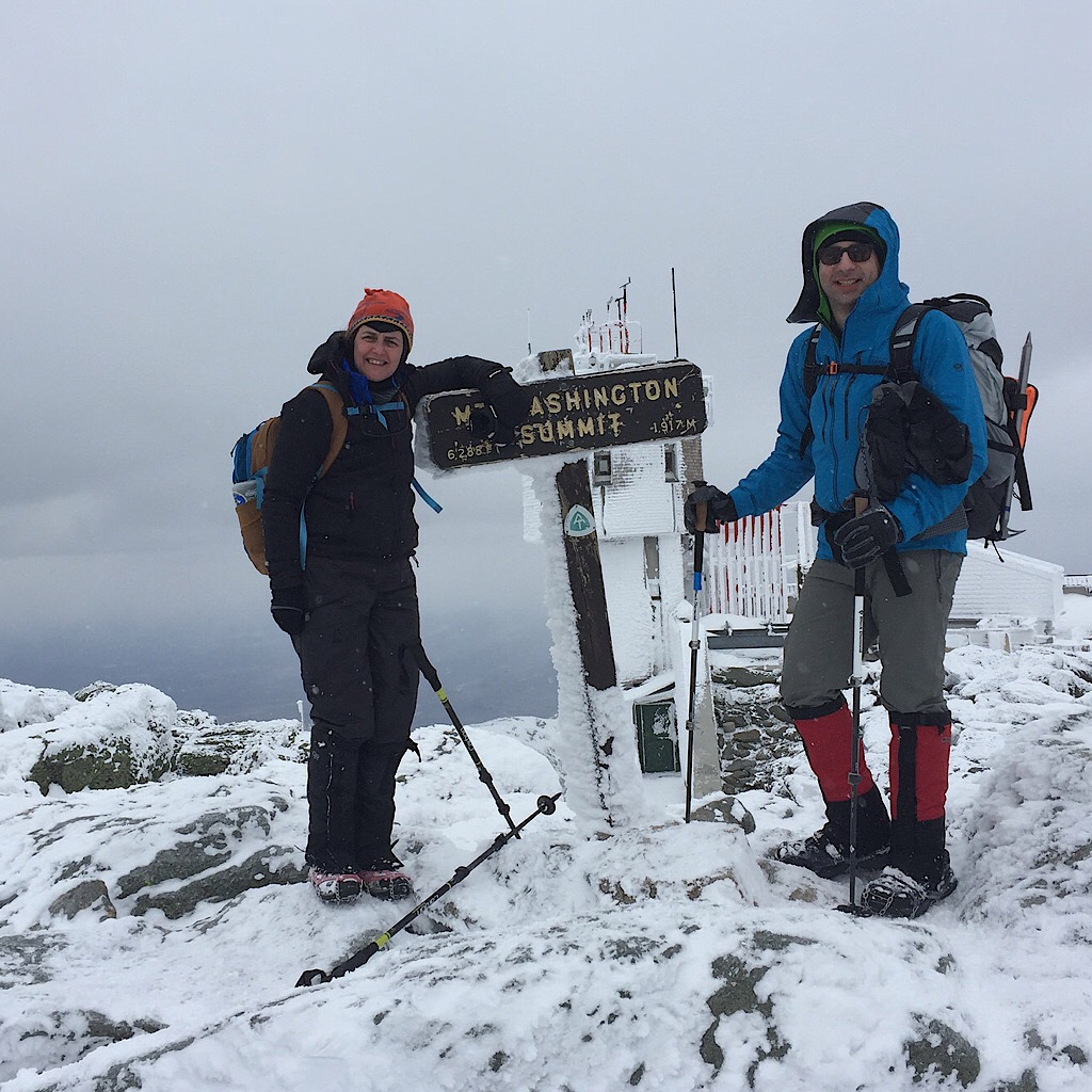
Congratulations on the summit, team. Special nod to Charbel as he was feeling quite ill and had to dig deep to push through.
Fantastic job, Ken, Arlette, Charbel, and Nita. Well done all and congratulations!
