
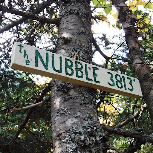
 Two of the team, Redline guide Bill Robichaud and guide and owner Mike Cherim, completed the New Hampshire peaks on the New England Hundred Highest list with the ascent of the 3813-foot Peak Above The Nubble. Not only did they manage to find the top of this “trailless” mountain, they did it in a fun and interesting way. The duo went at it from the northwest following a drainage to a gnarly backcountry slide. The slide has no name, so they coined one: S.A.T.N. or Slide Above The Nubble. The pronunciation is variable. After all, Bill and Mike found it to be both Slippery like Satin as well as Devilish like Satan. You decide.
Off to See the Nubble
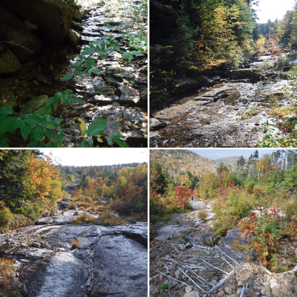
The hike began on seasonally-open fire roads, which led to a hardly-ever-open fire road, which in turn led to an old logging road, which then led to a rough “herd path” made by hikers before them. The path crossed two thin streams, only one of which was on the map, then climbed skyward. They then started to really head up. The Nubble or Haystack Mountain at 2713-feet was their first target and this “trail” would take them right to it.
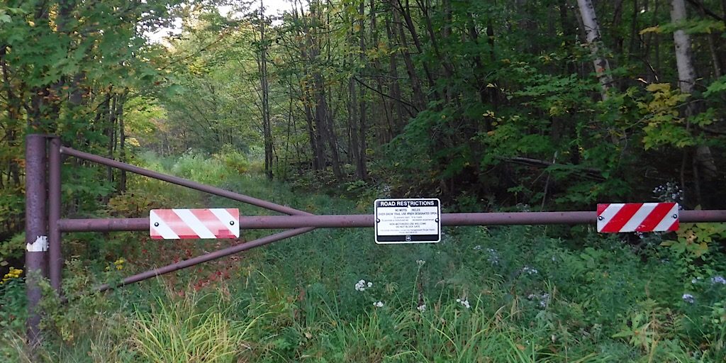
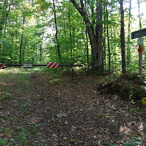
They begin their hike on gated fire roads.
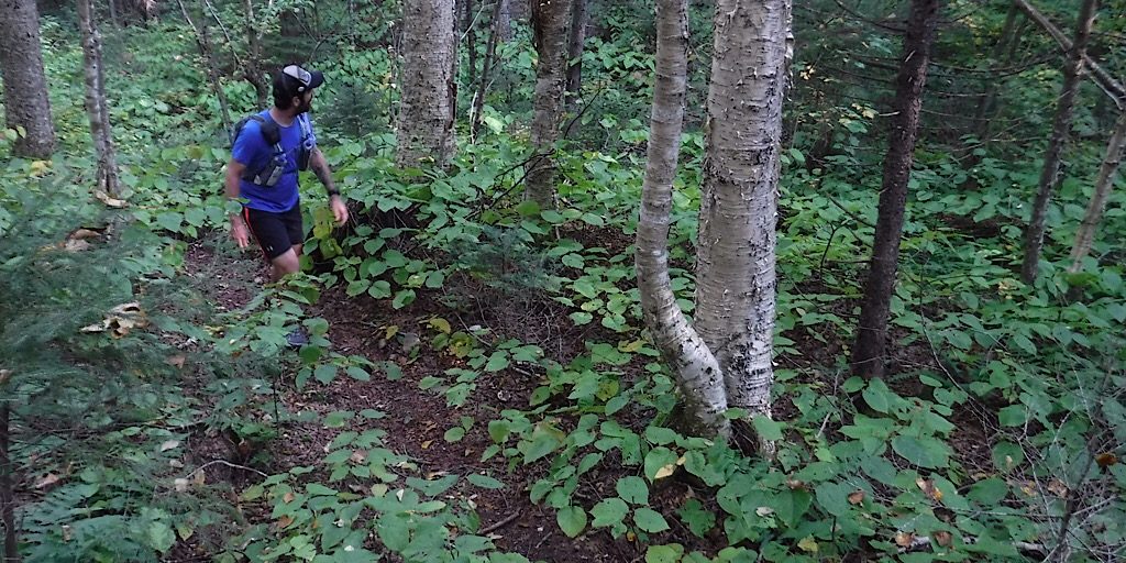
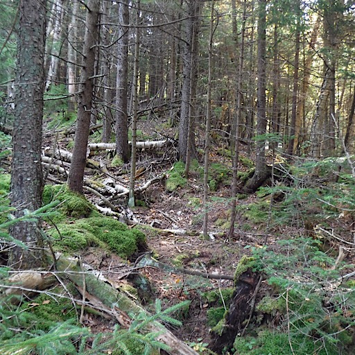
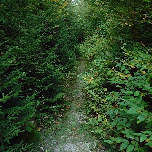
Before long they find themselves in the woods.
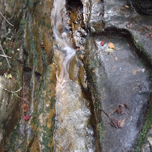
This is the second crossing.
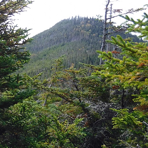
Making their way up “The Nubble.”
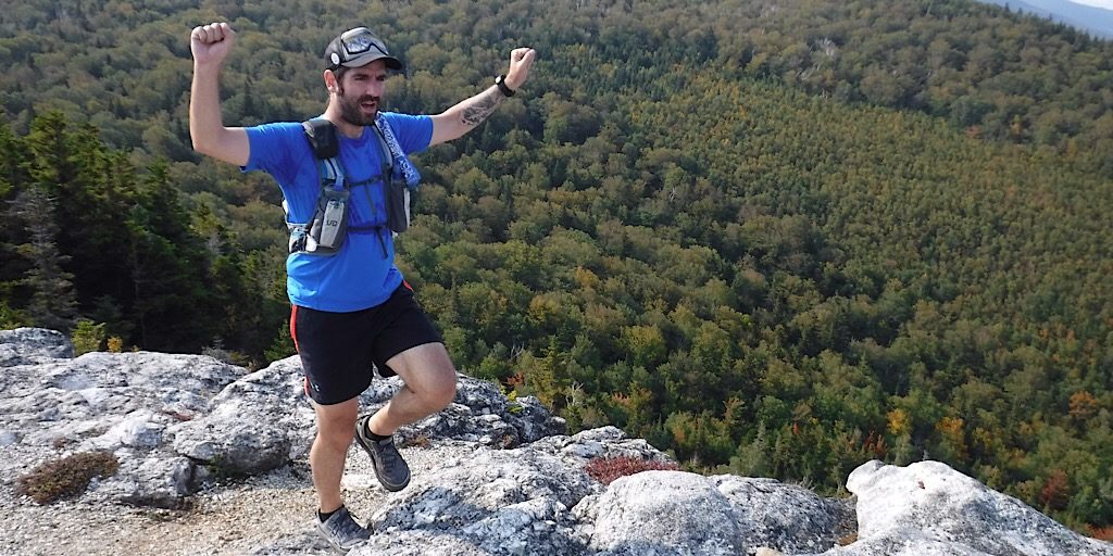
Bill cheers. They win. Already the day is a success what with the views they see around them.
Better Than Your Average Haystack
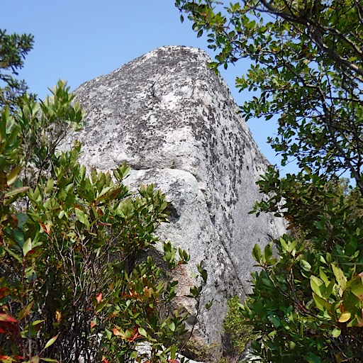
The Nubble, or Haystack Mountain as it is marked on a map, is an amazing piece of rock as it juts skyward making it immediately prominent. It’s only 2713-feet but the alpine feel is amazing. Moreover, thanks to it being kind of out-of-the-way, the chance of having it to oneself is pretty good.
Bushwhacking at its finest.
They make their way back down after taking a break.
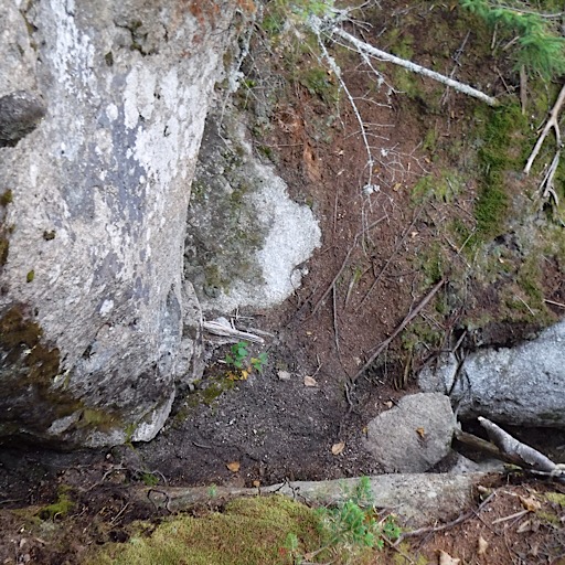
This is the logical start, and it proves itself.
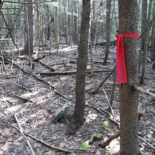
Confirming flagging is quickly discovered.
Peak Above The Nubble via the Slide Above The Nubble
The two consulted the tools of the Wilderness Navigation trade. Bill with his GPS, and Mike with his topographical map and magnetic baseplate compass. All proved useful. The compass was used to gauge the relative bearing of the slide and of the drainage as it turned, all vaguely visible and certainly marked accordingly on the map (see image below). The GPS proved useful later helping them locate which snowmobile trail to take to make a loop.
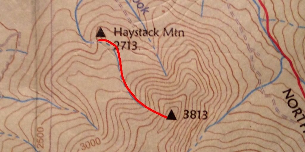
The approximate route the two used from The Nubble to the Peak Above The Nubble.
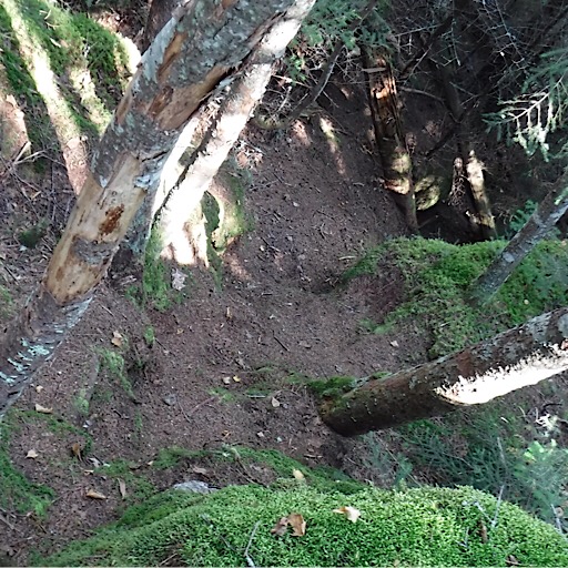
The two drop right into the drainage, staying there on and off.
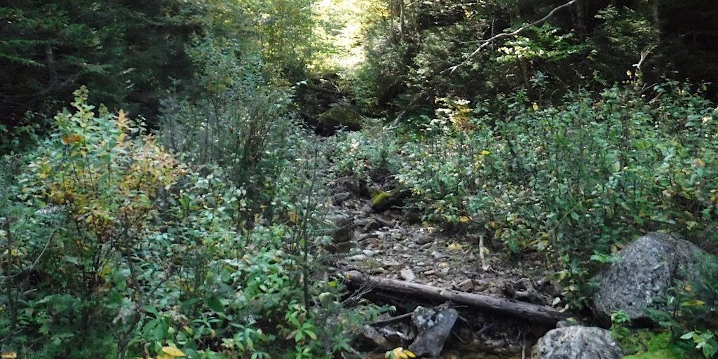
The drainage soon becomes a wet, challenging slide. It’s downright scary at times and tough to negotiate.
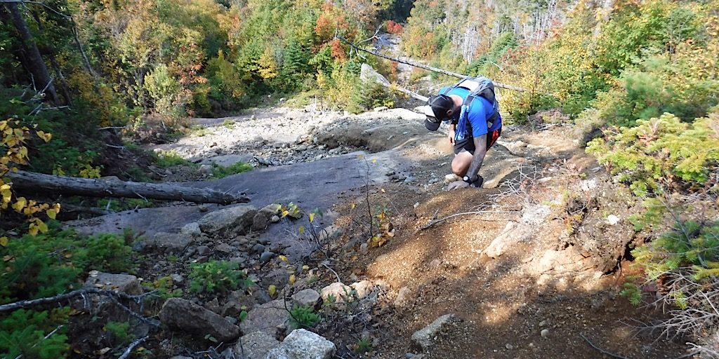
Bill negotiates this tricky terrain with care.
A Little Bit Sacry… Not Kidding
Going up the two were already discussing options for their descent. Neither hiker liked the idea of descending this slide what with its abundance of slimy, wet rock and long, exposed routes. No fall territory. Going up was one thing, but going down lacked appeal. Going down another way might not just be safer, but it would allow the two to see more of the mountain. To explore.
Before long the top of the slide is in view. They’re still a couple hundred feet below the summit.
Soon they are there.
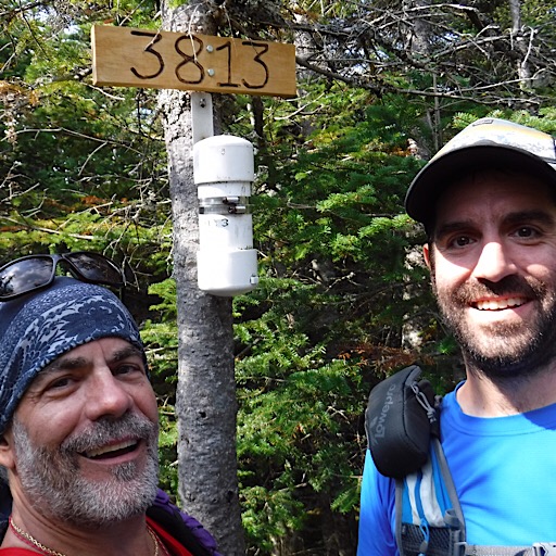
The two grab a “selfie” before descending.
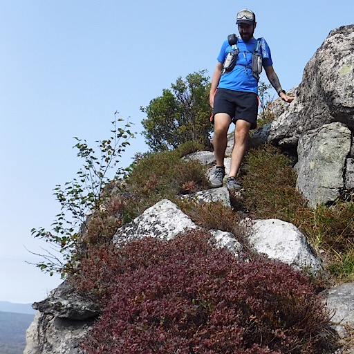
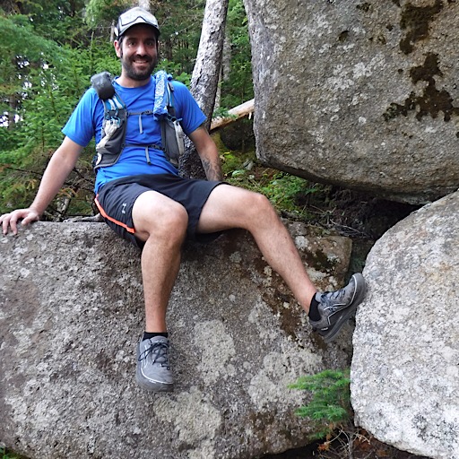
A side trail leads to a vista. The two break there.
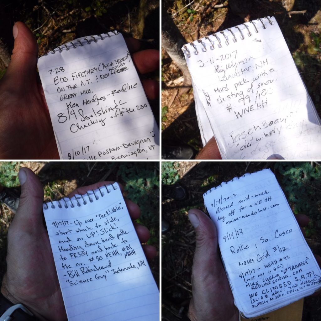
Redline Guides Liz, Ken, and no doubt others have visited as well. Some register pages.
Finding Home Another Way
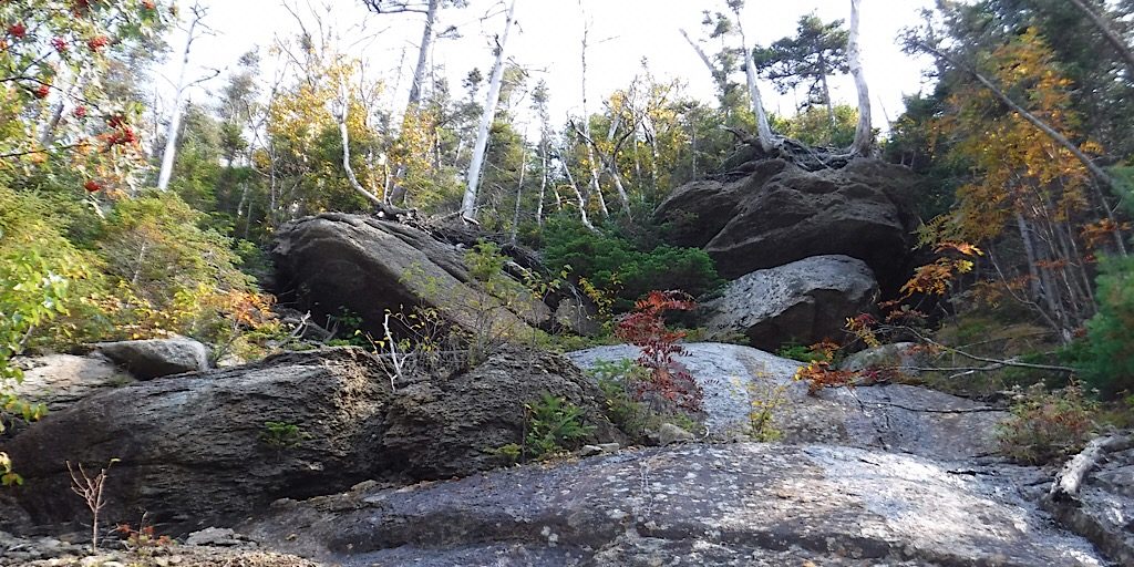
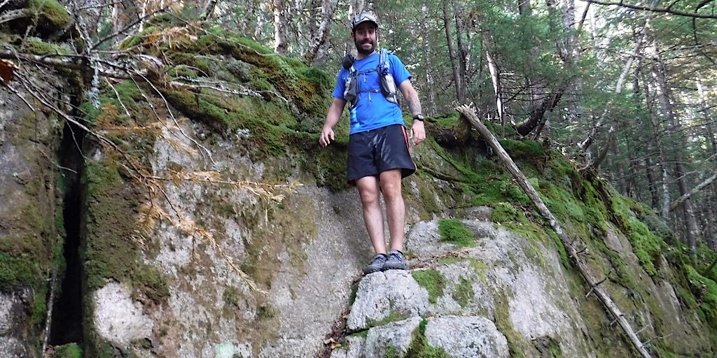
By the time Bill and Mike reached the top of the SATN they had decided taking another route back, while longer, would reveal more of the cool mountain they were on and it help them avoid sliding to their deaths on the slide. Okay, maybe it wasn’t quite that bad. The alternate route was the more typical “bushwhack” up this mountain. We quoted the word bushwhack because it is actually trailed the entire way. This, however, doesn’t mean this way is easy — or even safe for that matter.
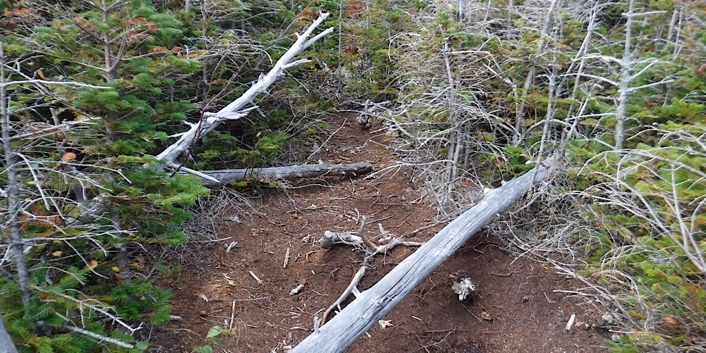
Almost immediately the trails drops out from under them.
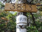
They leave PATN behind. Bagged.
Then they drop some more.
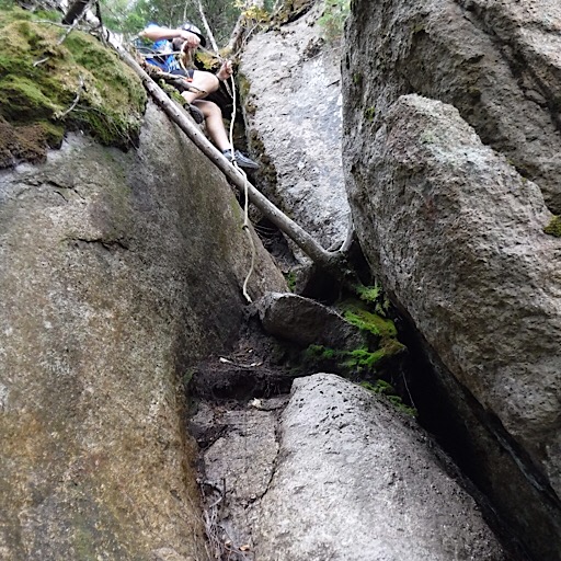
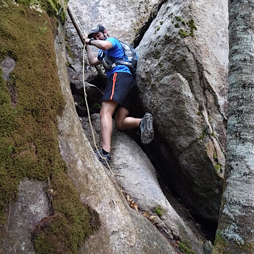
Wow, Now This is Kinda Sketchy
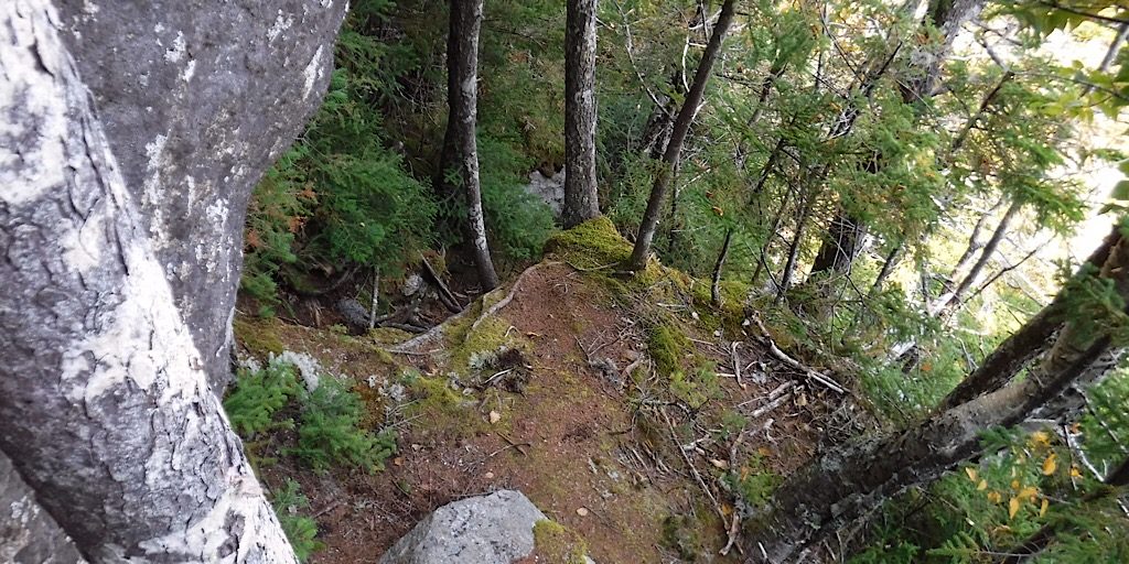
The two quickly discover the typical herd path that every one else takes for the most part offers travelers its own clenchable moments, especially descending. Now, granted, they had heard about a homemade ladder — which was found and used — but the two really had no idea the to the extent this “trail” was going to be in terms of being so damned exciting. This, combined with the ascent, made for a really fun and memorable hike. One of the best as it concerns New Hampshire-based New England Hundred Highest peaks, in fact.
The photo doesn’t really show it, but both sat here.
Then there was THIS spot.
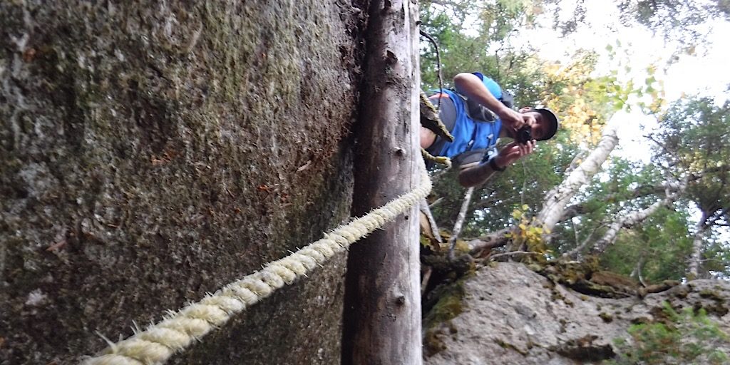
Maybe this photo will better reveal the challenge and danger.
Bill starts his turn down this thing.
Mike and Bill both survive it. The rope helps.
One of the final hurdles on this deceiving “trail.”
Now It’s Getting Really Easy
Once the two eased past all the tough scrambly sections they were able to make good time. Even past the aforementioned ladder which, as it turns out, was almost laughable because it’s almost unecessary. It’s like finding an elaborate bog bridge on the driest section of a trail (of course it’s dry because of the bog bridge, but it does beg for one to wonder if irony is afoot). The rest of the hike out was on the continuation of the herd path, Haystack Road, and a snowmobile trail.
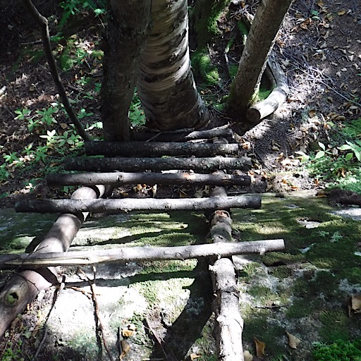
The ladder.
Greenway exit. We pass one more path to…?
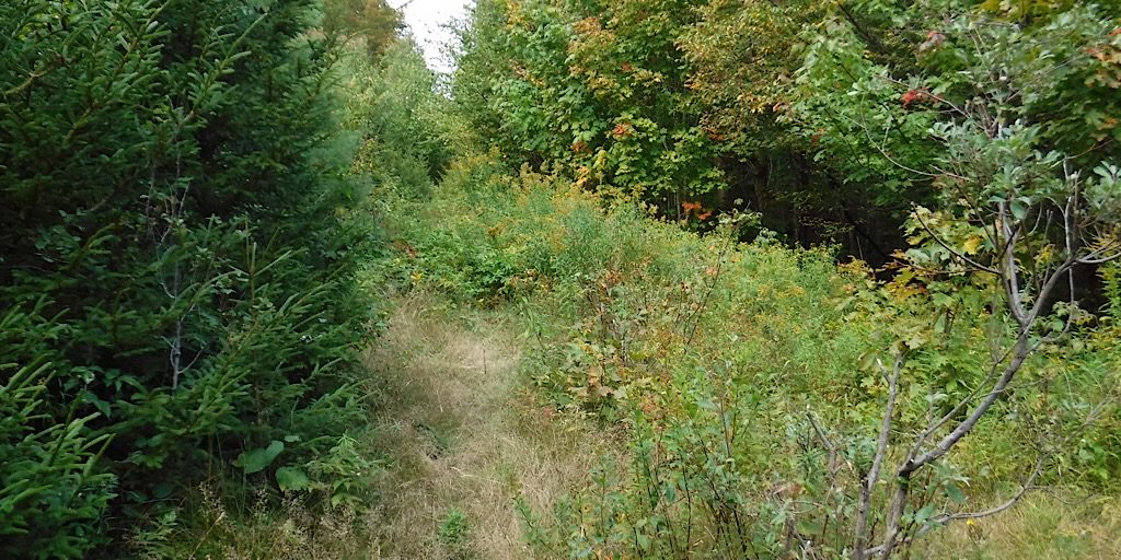
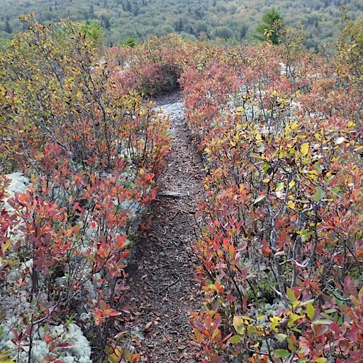
It’s an easy route now. This will pass one cairned side route to… don’t know, then hit Haystack Rd.
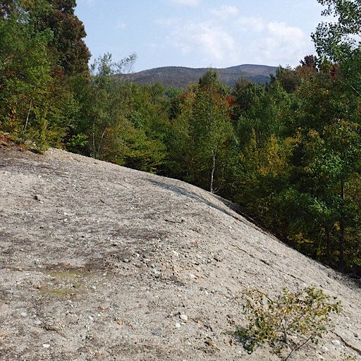
Mike scampers up the sand dune to shoot Hale.
Final segment. This snowmobile trail off of Haystack Rd.
That’s it. Well done, you two. Now go finish the Maine and Vermot peaks you’re missing!