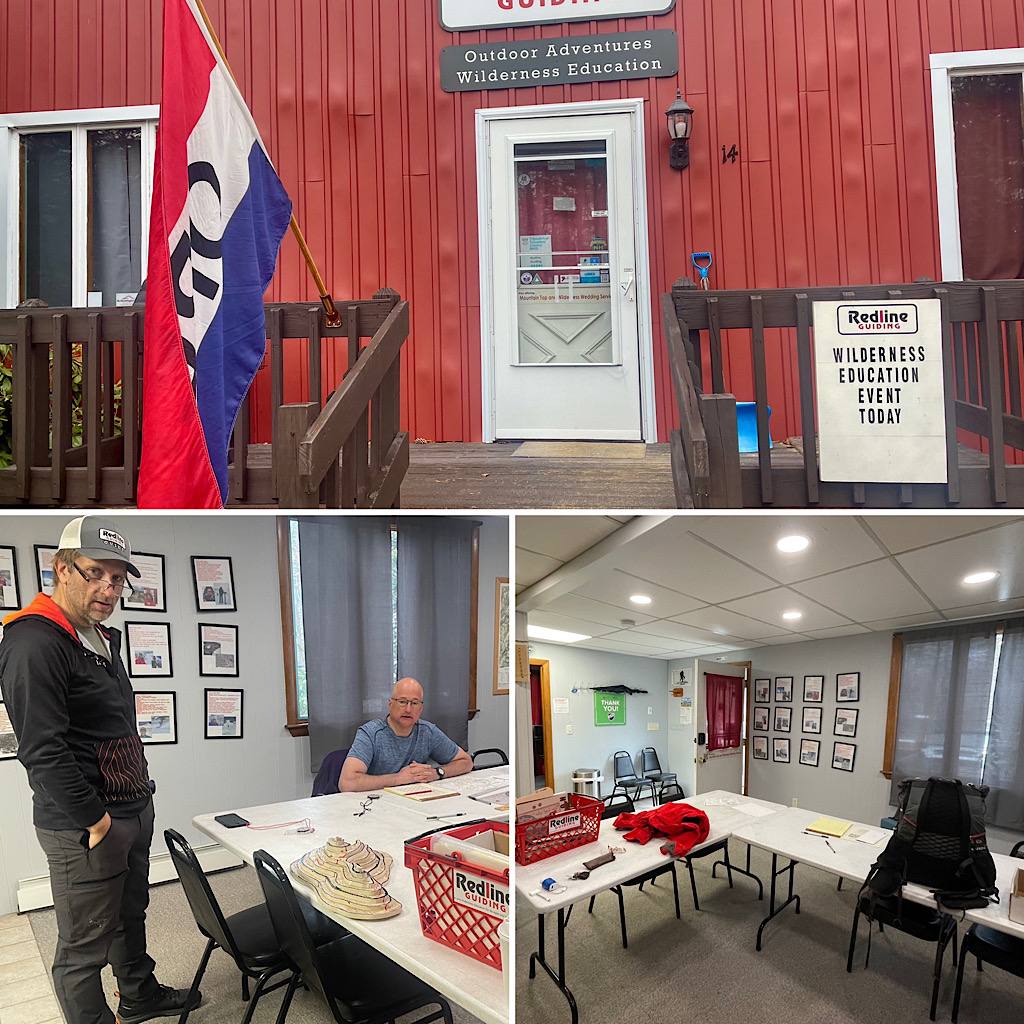
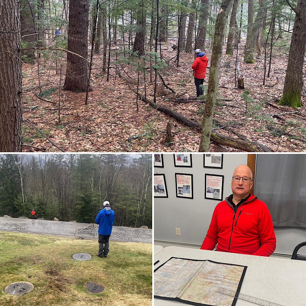
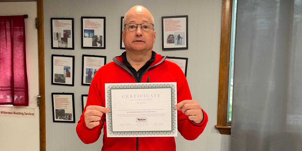
From our half-day brush-up to our full two-day advanced session, our Wilderness Navigation course is all that. As it should be. It was built on a solid foundation and we’ve been tweaking it for over 12 years striving all the while to make it practical and usable here in the White Mountain National Forest. The one-day offering is our default and it’s what we recommend when people inquire about which course to take and whose objective it is to learn how to basically use their map and compass for something other than hike safety compliance. That said, for those looking to get out there and crush five hundred little mountains and ‘shwacko stuff like that, two days is the solid bushwhacking prep needed. The student we had visiting over the past couple days didn’t plan on hiking the 500 Highest, per se, but he did want to be able to do something like that if he wanted to. And he’s pretty serious about it all as more is in the works: a Digital Navigation course (scheduled) and a more significant bushwhacking experience later in the year. Teaching this course was Redline Guide Mike Cherim (shadowing the day-one procedure was Redline Guide Glenn Van Neil). Mike supplied the following photos of the experience.


