
We love hearing about what our guides do off the clock as well as what they do when working, and we figure you might, too. We try to post their most significant accomplishments here for that reason. Because of this, and being that there are so many significant accomplishments happening in any given year, we stay busy documenting it all. And here we are again. This time it’s Redline Guide Arlette Laan, who with her husband, Rich, just completed a southbound (sobo) through-hike of New Hampshire’s 170-mile Cohos (koh-haas) Trail in eight days finishing on July 13th.
This trail runs from the start of Davis Path on Route 302 in Crawford Notch to the Canadian Border, or visa-versa, and is not a heavily used trail as a whole, albeit parts of it are frequented more than others. All in all, though, in eight day’s time they saw only ten hikers, one of which was heading northbound (nobo), plus two moose — one a big bull — and a medium-sized bear. They also encountered a bit of mud and a few ferns as the photos will reveal. All told, it sounds as if it was an incredible trip. Surely it had its highs and lows, but the Cohos Trail was special.
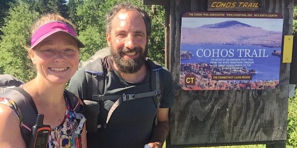
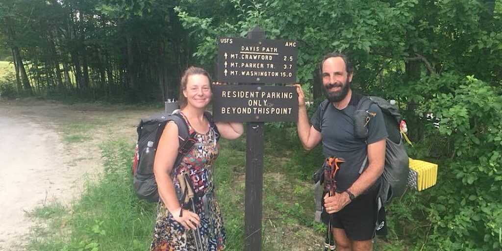
Arlette and Rich at the beginning (even though that was actually at the start of the Fourth Connecticut Lake Trail).
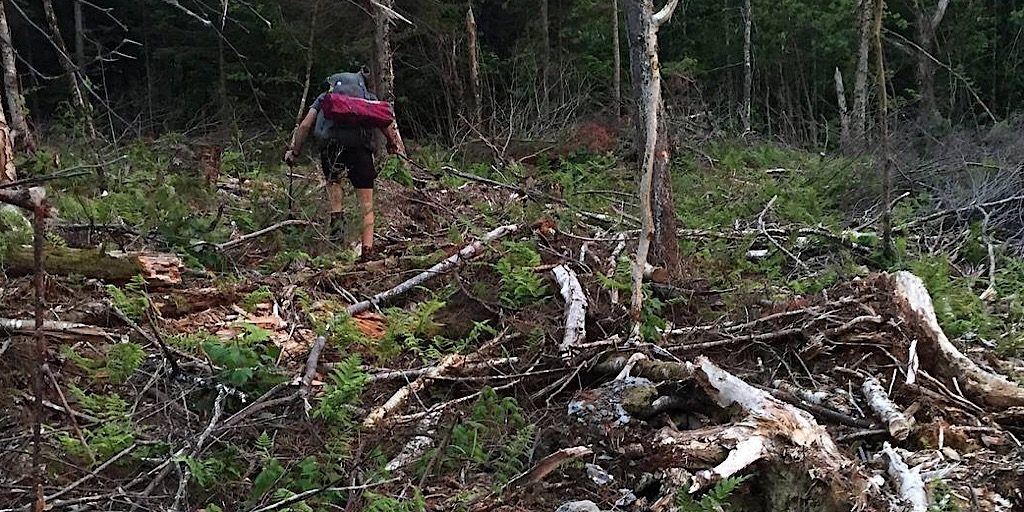
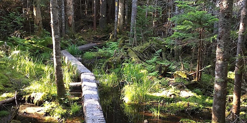
It doesn’t take long to realize why this is a wildernessy trail.
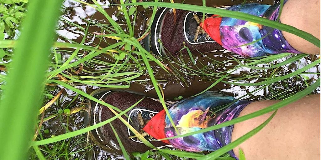
Meet mud. Good thing they chose a fairly dry season.
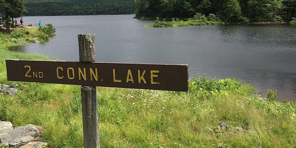
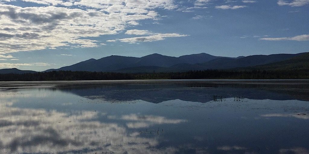
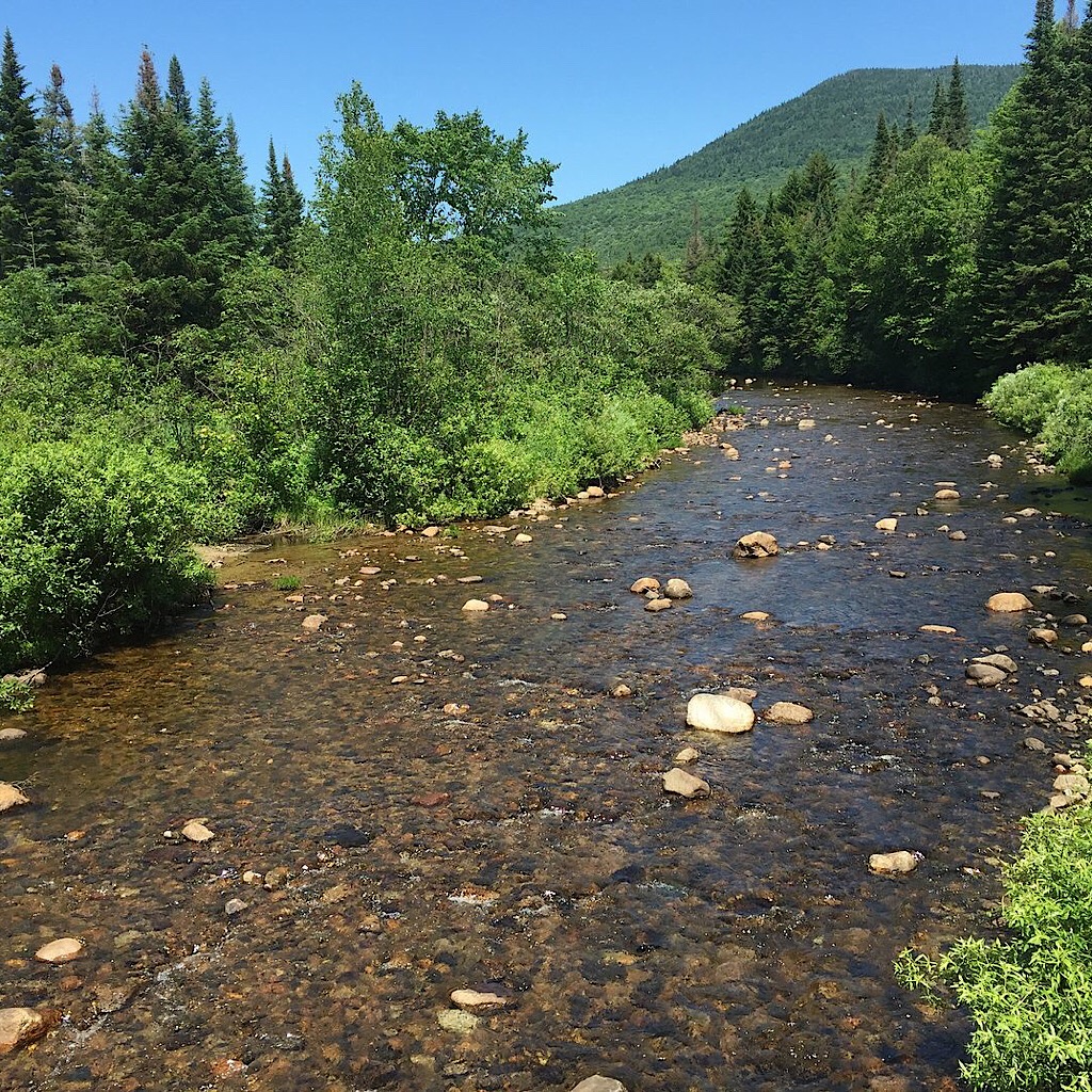
The four lakes that are the source of the Connecticut River get bigger as you head south.
Here they are re-finding the trail after becoming misdirected. Whoops.
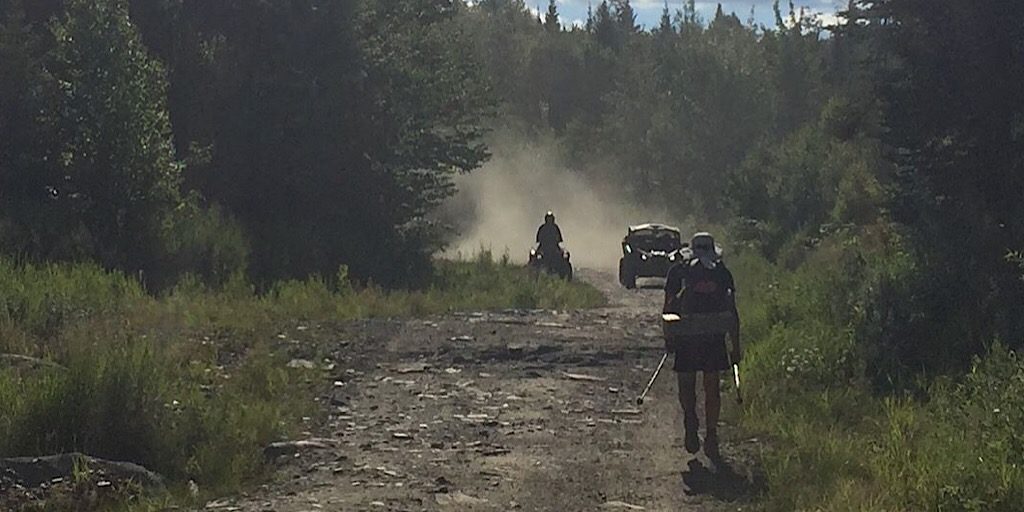
Sharing the trail with OHRVs for a bit is part of it.
A lot of private property is bisected thanks to generous landowners.
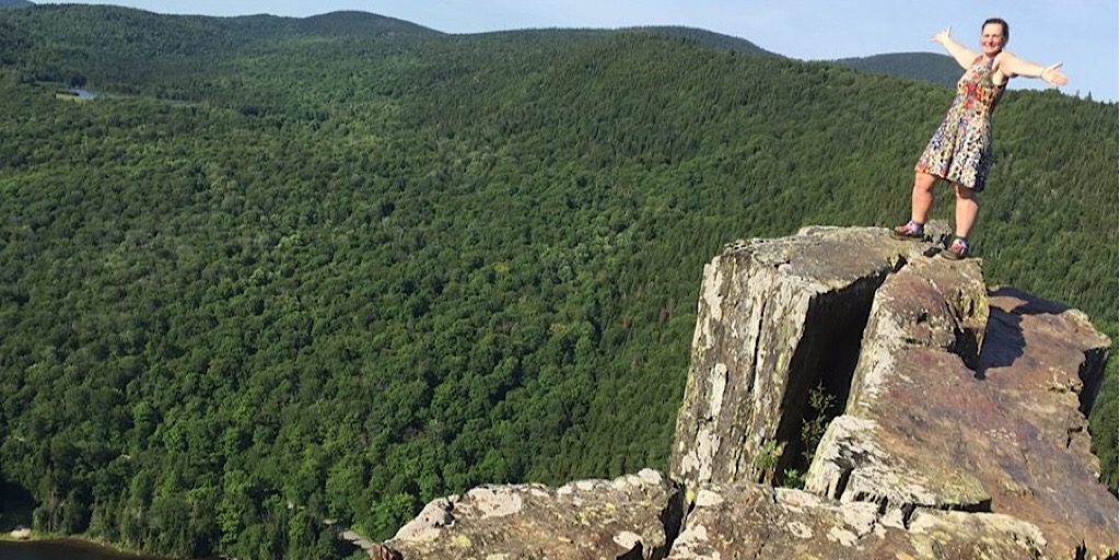
Table Rock in Dixville Notch is not for those who are afraid of heights.
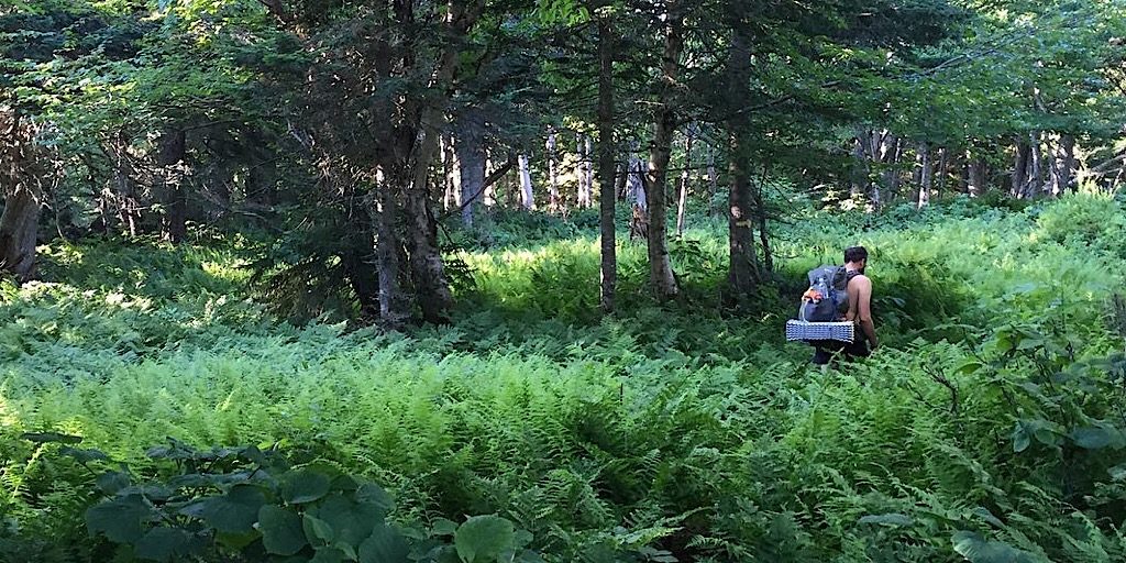
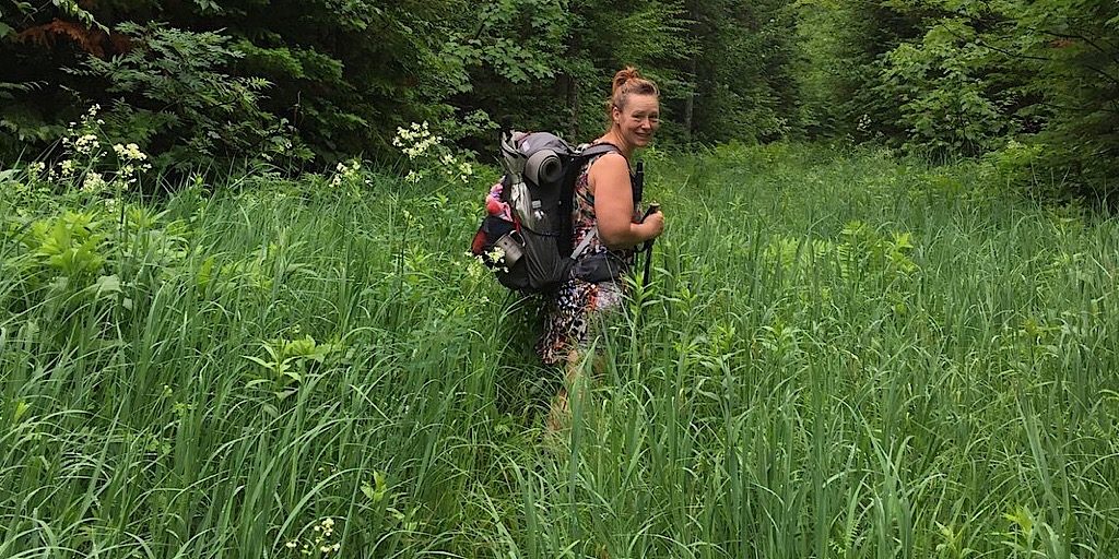
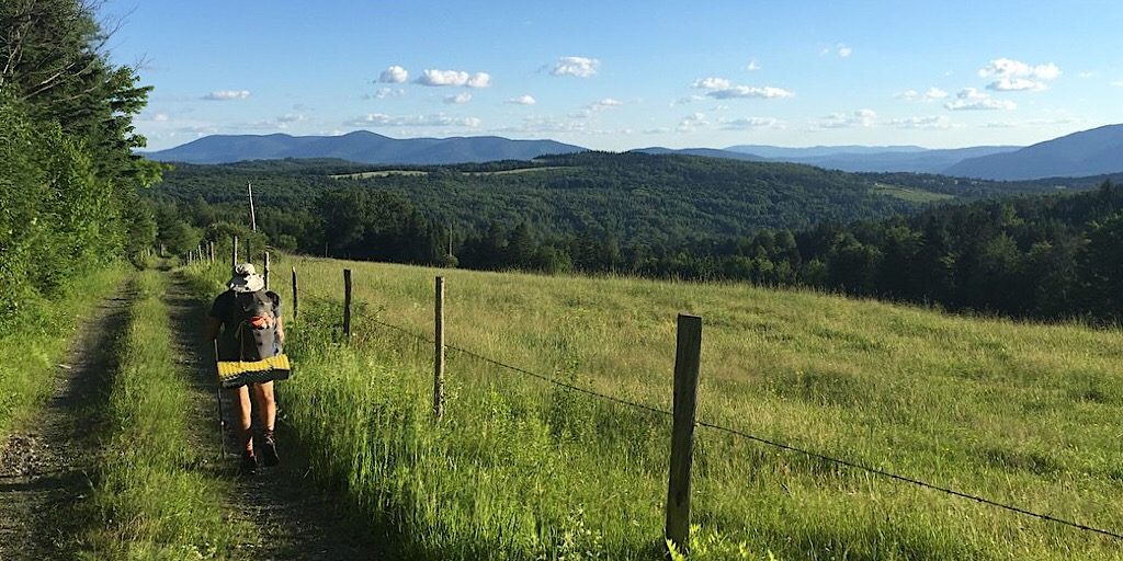
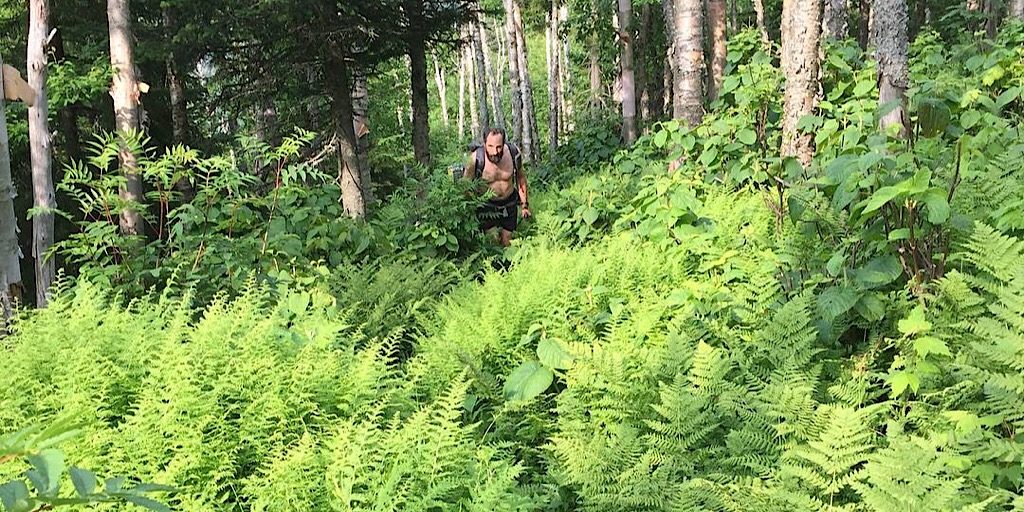
Grassy grades and ferny forests make up much of the Cohos Trail.
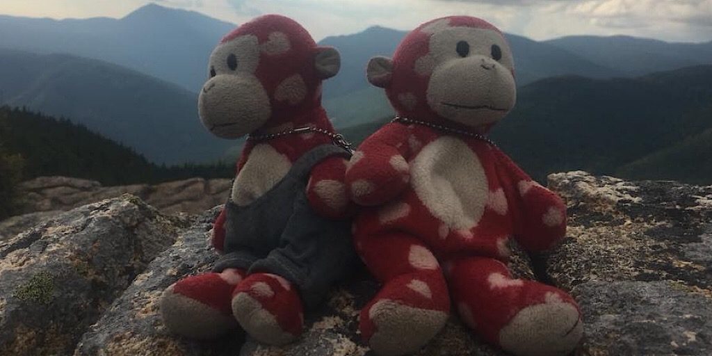
We said it was just the two of them, but they did bring family.
The lovely Cherry Pond.
Pretty typical White Mountains hiking in this scene. Pretty.
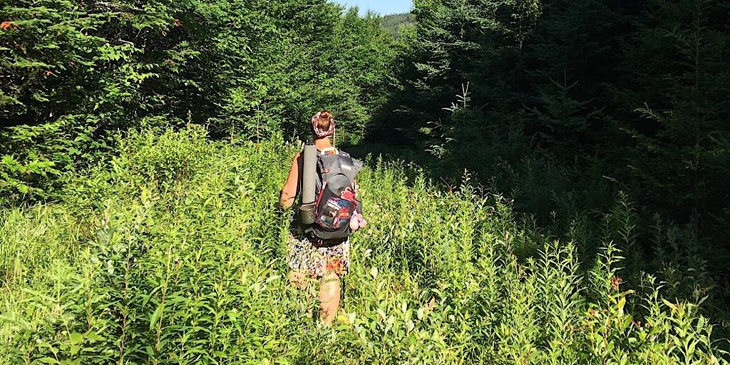
Back to the grassy grades.
This looks inviting.
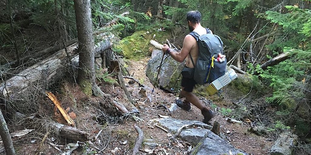
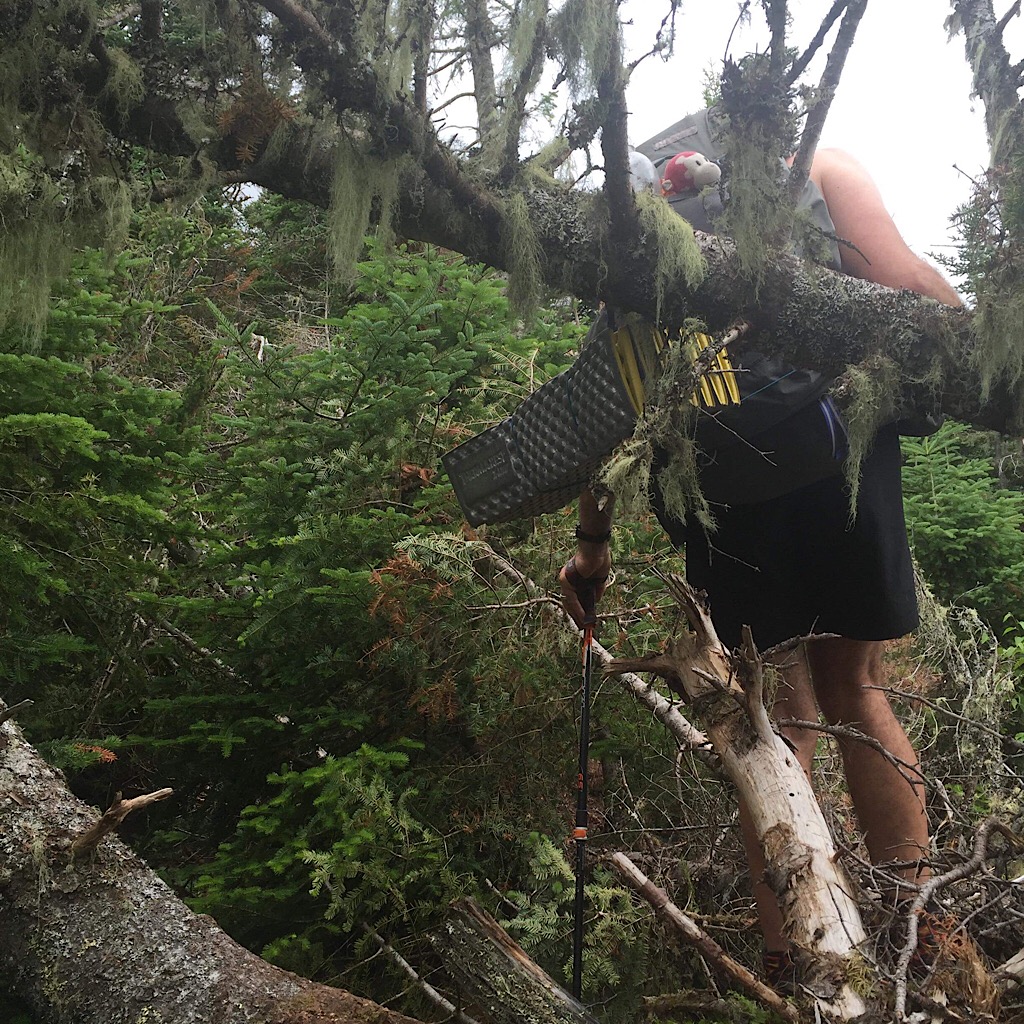
Rich negotiates rough terrain.
The Kilkenny.
The duo traverses the Presidentials as they near the end.
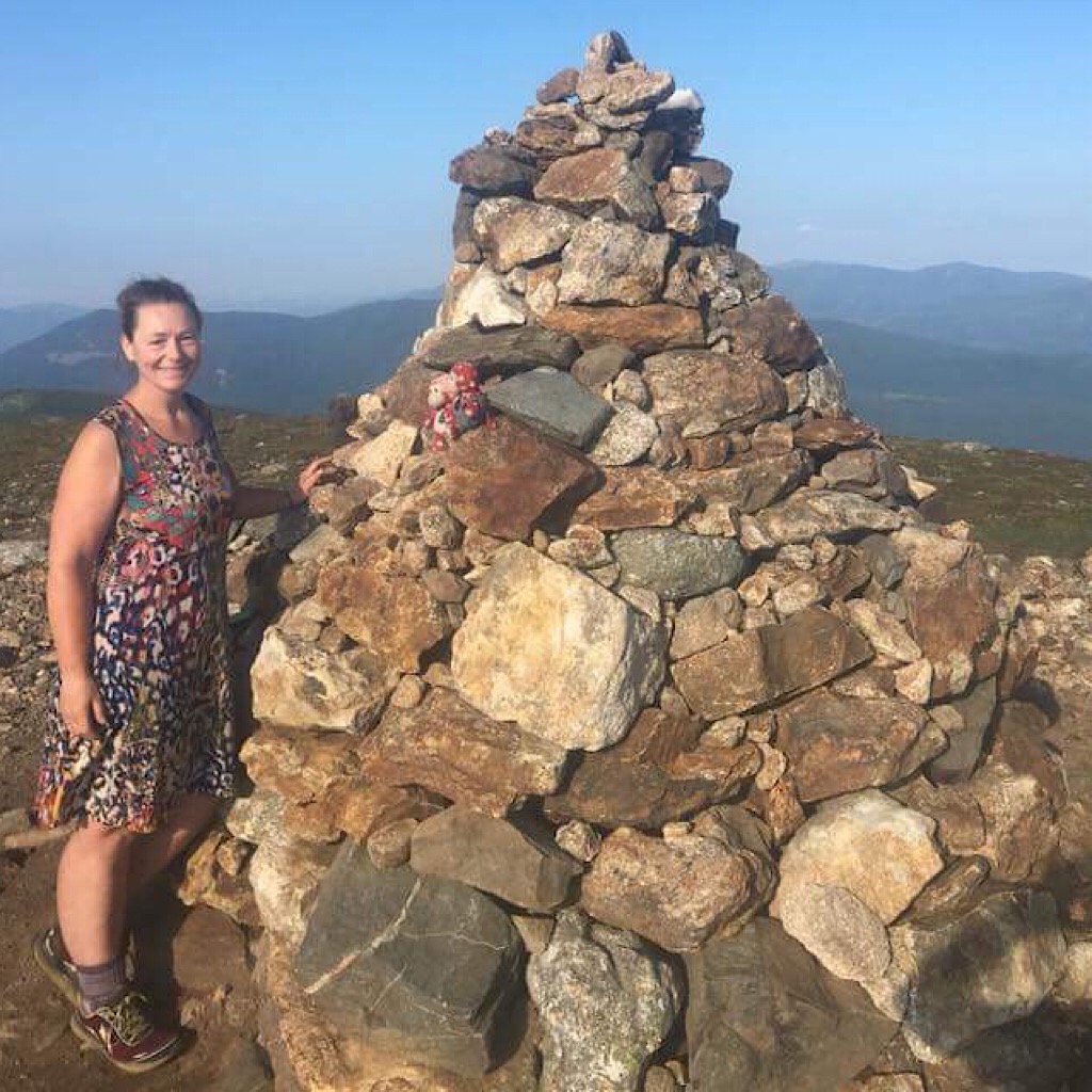
A new cairn on Mt Eisenhower. It looks good… or now.
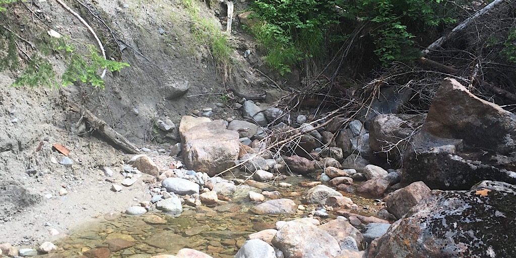
Washouts in the Presidential/Dry River Wilderness make negotiating the trail difficult.
Tough going on the Isolation West Trail.
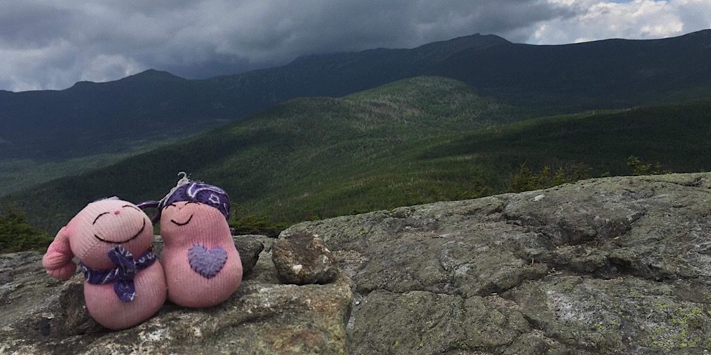
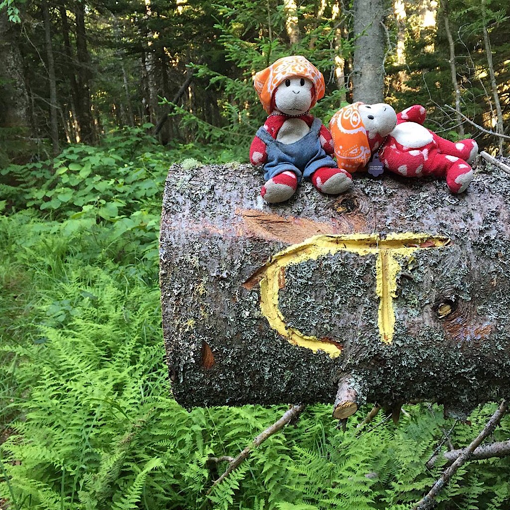
We should mention they also brought friends, here on Mt Isolation! Arlette makes these sweet, quirky dolls.
They arrive at the southern terminus all smiles. Ending is always bittersweet. Thru-hiking is fun.
Congratulations, Arlette and Rich. It looks like it was an amazing tour of the northern half of our state.
Does anyone care to guess who our new Cohos Trail guide is?