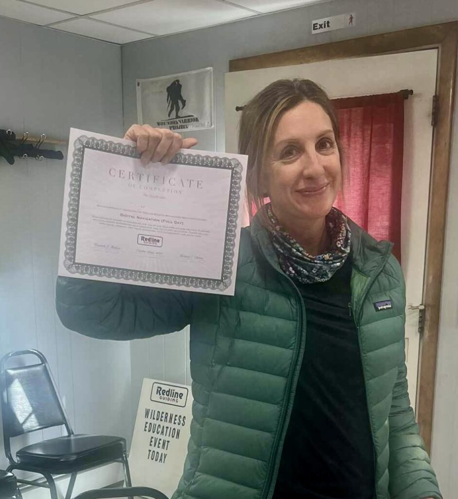
 Most of the educational requests that come our way are fairly standard: How do I hike? How do I cross a stream? How do I establish a campsite? How do I navigate with a map and compass? How do I navigate with digital devices? And then there are others that are atypical. For example: How do I navigate if it’s mandated to use outdated devices while running outdated software in a place with very little infrastructure and with largely inadequate or non-existent maps? This was the situation faced by Redline Guide Ken Hodges along with one guest preparing to participate in the 2026 Mongol Derby — a 1000 kilometer horse race through the wilderness in Mongolia. Some of the challenges they faced are described in this paraphrased text below.
After completing the training academy in Mongolia I was accepted to race in the 2026 Mongol Derby. I know more of what to expect after riding there last month but I know if I’m to have an edge in this race I have to improve on my basic navigation skills. I would love to learn how to best read a topographic map to avoid muddy marshes and steep mountains on the race that depends on your horse’s capabilities… and to be able to navigate well with the “clunky” device given along a very brief intro-level training while on a galloping horse. —Guest
Ken was certain that he was indeed able to help, but he did mention that by the end of the day both he and our student felt fried. That said, we hope the training was helpful and adequate, offering the needed “edge” and that our student is both safe and successful in her journey.
